A connected field atlas
Archaeology
World
Begin with a place.
Ask what its evidence can show.
Explore cities, sanctuaries and landscapes, from Carthage and Pietrabbondante to Ostia, Cosa, Corinth and Athens. Keep each place’s plans, histories and architectural readings in their own evidence context.
Enter the field atlas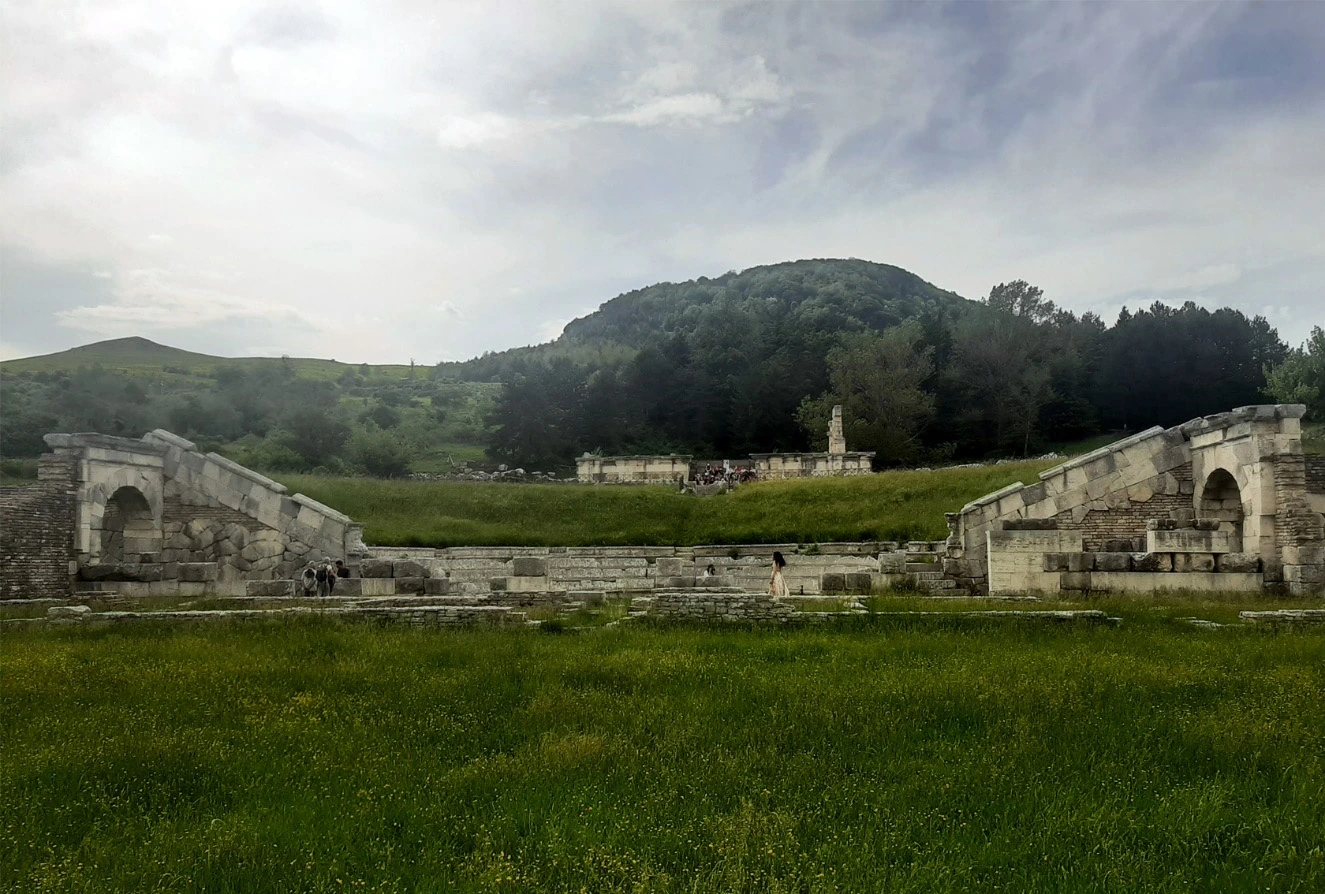
Spatial orientation
Places, at different scales.
Choose a study context, then follow its plans, architectural readings, sources and limits. All studies share the same field atlas; regional studies retain their own coverage.
Modern physical outline · Natural Earth, public domain. Map extent and point spacing provide orientation; they do not identify an ancient coastline, site footprint or route. Carthage and Oplontis anchors derived from © OpenStreetMap contributors; individual point sources appear below.
Follow a question
Ways into the evidence.
These are suggested reading sequences. Each destination keeps its own corpus, chronology and source conventions.
Comparison starts with the source.
A modern photograph, an excavation plan and an explanatory architectural model answer different questions. Open a study’s methods and source record before comparing its image with another place.
Methods before totals
What can we compare?
Choose two or three contexts. Read their scales, evidence units and source access side by side.
Counts remain attached to their stated units and source snapshots. This portal does not add them into a common archaeological total.
A reproducible next step
Take the sources with you.
Collect study contexts and individual architectural readings, add a research question, then export their source links and stated limits.
Source-bearing destinations
Portal methods and asset credits
This page connects existing research builds through explicit links and editorial questions. It does not merge their archaeological records, infer ancient connections or synchronize incompatible phases.
Source access and counts follow the linked study snapshots. This is a bounded integration check, not a fresh independent audit of every underlying publication.
The physical outline derives from Natural Earth 1:50m land data, in the public domain. Representative point sources appear beside each located study. There are no plotted routes or regional boundary claims.
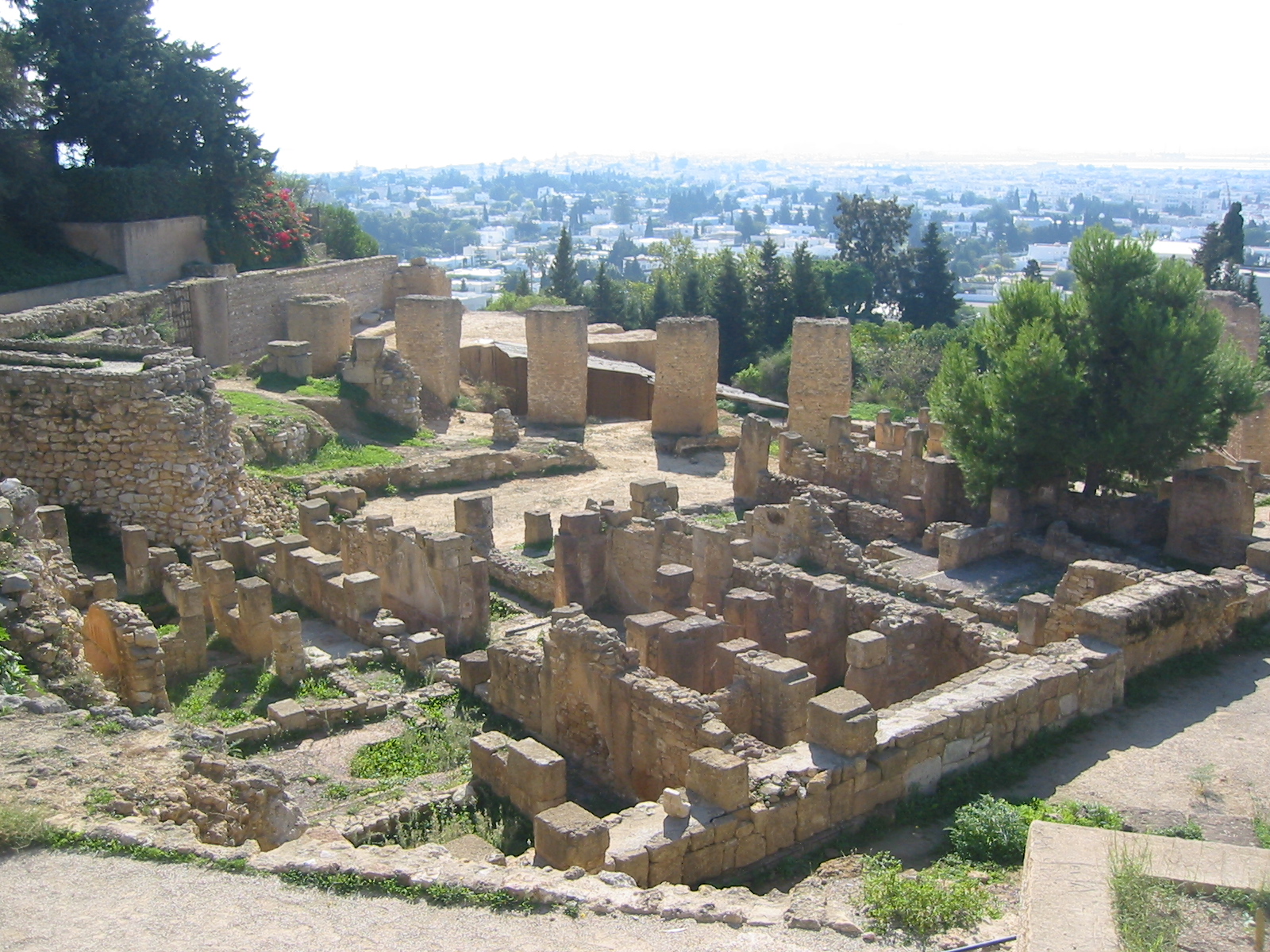
Pietrabbondante photograph: Adriana Marra, Giovanni Fabbrocino and Silvia Fabbrocino, Heritage 5 (2022), fig. 5, p. 1511, source, CC BY 4.0; prior WebP derivative, unchanged here. Byrsa photograph: Eirik Newth, 2005, source, CC BY 2.0; original bytes, visual framing through CSS.

Plans, reports, imagery & future studies ↗
Source & asset register ↗ · Study registry ↗ · Architectural case register ↗ · Build manifest ↗
Continue in the original study
Stay close
to the traces.
Use this portal to choose a question and a source. Follow the original studies for their detailed plans, references, documentary evidence and architectural interpretations.
Explore Ancient Ecology World